Towards Bespoke Training Models for a New Era
10th ISK Africa Regional Conference
If the events that unfolded at the continental gathering of young and senior African surveyors in the final week of October are anything to go by, then declaring that the penny has dropped for a constituency that has long punched below its weight would be an understatement. By the time you finish reading this witness account, you will not only have proven this statement right, but also claimed a share of the ecstasy over how profound that moment truly was.
Over the period 27-31 October 2025, Mombasa offered more than ocean breeze and heritage this week; it offered vision. At the 10th ISK Africa Regional Conference, themed “Future-Ready Landed Professionals: Fostering Excellence and Resilience” and the 4th FIG Young Surveyors Meeting (Lead. Innovate. Transform), we saw the future of our profession unfolding. It is a future that demands bold reinvention. For the conference, I served in the privileged position of Chairman of the Programmes Sub-Committee, a commitment that started in early 2025. I addressed young surveyors on 27-28 October 2025 on VUCA and the new skills revolution model required of them. On 31 October, it was my turn to present to experts, academics, and senior surveyors on the state of science and technology in marine and natural resource surveys.
Courting a New Skills Revolution Model
We must move the needle in this century’s richly woven tapestry of capacity-building needs, the fabric no less sophisticated, perhaps the super 200s and above if we were to use wool as an example. From this premise, my lucid argumentation unfolds — with alacrity, logic, conviction, and purpose.
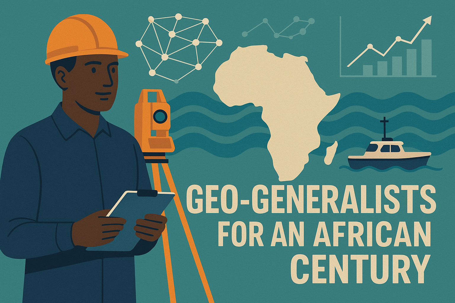
Standing before the next generation of surveyors and geospatial thinkers, I reiterated a message I hold dear: the age of narrow silos is ending. The world has moved beyond brick-and-mortar professional boundaries, and so must we. In a VUCA world — volatile, uncertain, complex, and ambiguous — the winners will not be those who specialise too early and stay confined. The next-gen geospatial thought leaders will have to be T-shaped in their skills revolution model, the geo-generalists capable of skilling deep and thinking wide, mastering geospatial science while fluently linking it to systems thinking, data intelligence, engineering, environmental stewardship, and the digital innovation ecosystem.
We must train for competence and confidence in the fundamentals and then provide pathways for diversification.
The themes resonated powerfully with the keynote from Prof. Washington Yotto Ochieng of Imperial College London, who illuminated the path of lifelong learning and system-of-systems thinking, illustrated through smart city ecosystems. Cities breathe, evolve, and interact, and so must our professional intelligence. Surveyors no longer simply measure; they orchestrate information, resolve complexity, and enable decisions.
Our profession stands at the crossroads of climate action, smart cities, marine and mining transitions, and digital transformation. Those who connect disciplines and curate insight, not just data, will lead Africa’s geospatial renaissance. As I put it as the footer to my slides, “From custodians of coordinates to curators of civilisation”.
A Curriculum for the Future
For any academic leader entrusted with shaping engineering and geospatial education, this conference reaffirmed an imperative: standardise the foundations, diversify the pathways.
Our region now requires geospatial programmes that:
✅ Build deep competency in foundational years — mathematics, surveying, mapping, geodesy, fieldwork, earth observation, geomatics systems, ethics, and policy grounding.
✅ Open specialisation pathways in the tail end of the academic years to match emerging industry frontiers and continental needs. The pathways could be categorised thus:
- Cadastral Surveying & Land Administration
- Engineering & Mine Surveying
- GNSS, Control Surveys & Geodesy
- Hydrographic Surveying & the Blue Economy
- Photogrammetry & Remote Sensing
- Geospatial Information Systems & Cartography
This structure positions Africa not merely to consume technology, but to create, shape, and export geospatial innovation — from terrestrial to marine, from surface to subsurface, and from analogue past to intelligent spatial futures.
Closing Reflection
I thank all the young surveyors who coordinated the events, notably Fridah and Kevin; the members of the Programmes Sub-Committee; the Local Organising Committee (LOC); and the President and CEO of the Institution of Surveyors of Kenya for their support.
Africa’s surveyors are stepping into a century of possibility. The baton now passes to the young minds who attended: connect the dots, stretch into the unknown, cultivate adaptitude, and lead with competence and courage. Similar to the law of action and reaction, VUCA (vision, understanding, courage, adaptitude) must counter VUCA (volatile, uncertain, complex, ambiguous) world.
We are no longer just surveyors. We are custodians of space, interpreters of systems, and architects of informed futures and sustainable development.
This is the era of the geo-generalist — and Africa is ready.
Subscribe to the IBD YouTube Channel to watch informative sessions like these ones below:
Young Surveyors Baraza: Employability and Career Security in the 21st Century